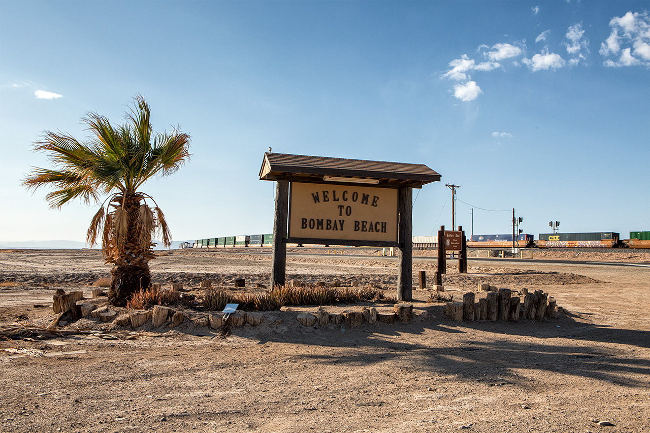
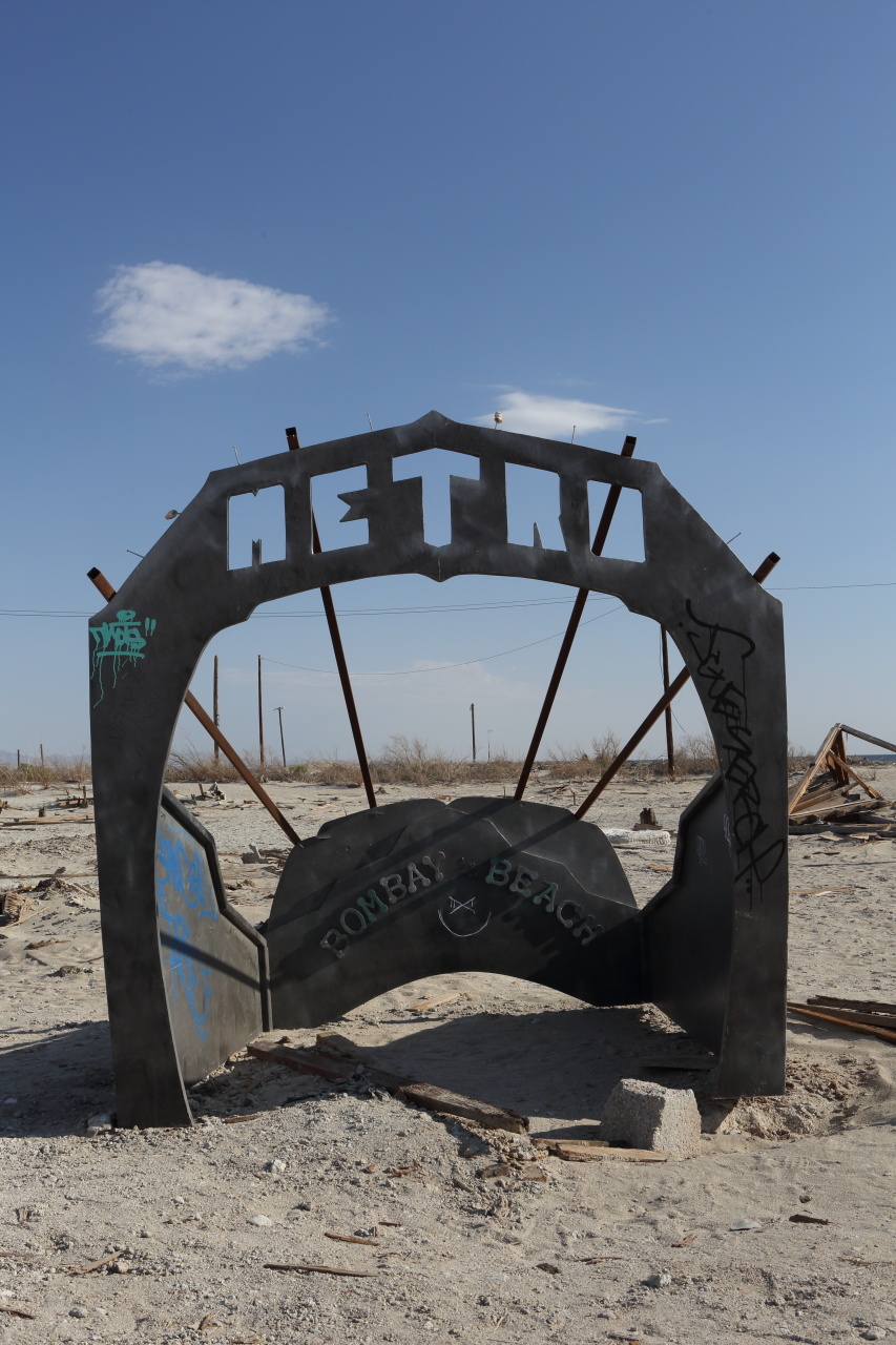
The sign says it all
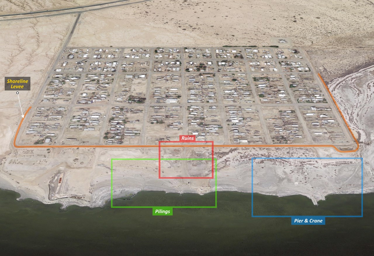
As shown in this Google satellite image, an 8-10' tall levee surrounds the outer edge of the town.
At one time, the water must have lapped up against this levee.
The colored squares mark map insets of areas that'll we'll be exploring.
At one time, the water must have lapped up against this levee.
The colored squares mark map insets of areas that'll we'll be exploring.
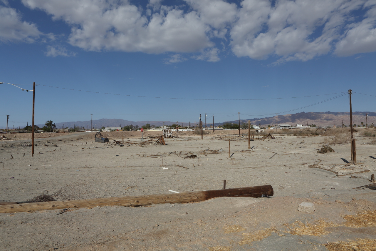
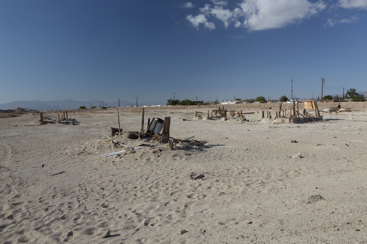
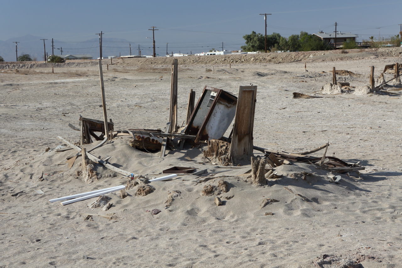
Ruins
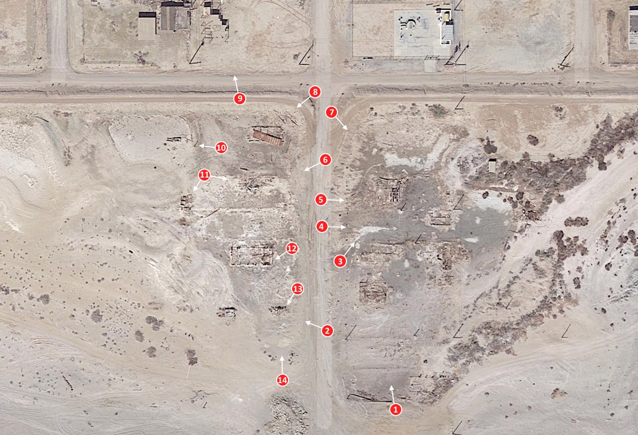
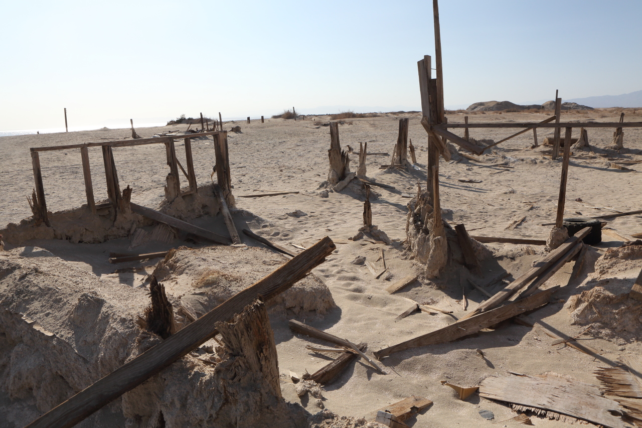
A satellite view of the ruins. These were all structures built on pilings to elevate them above the water.
The numbered dots indicate the location and the direction of the photos that follow.
The numbered dots indicate the location and the direction of the photos that follow.
Location
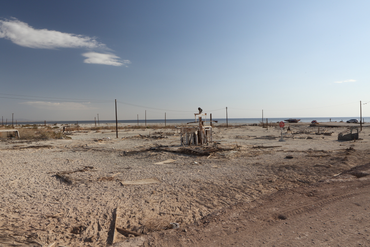
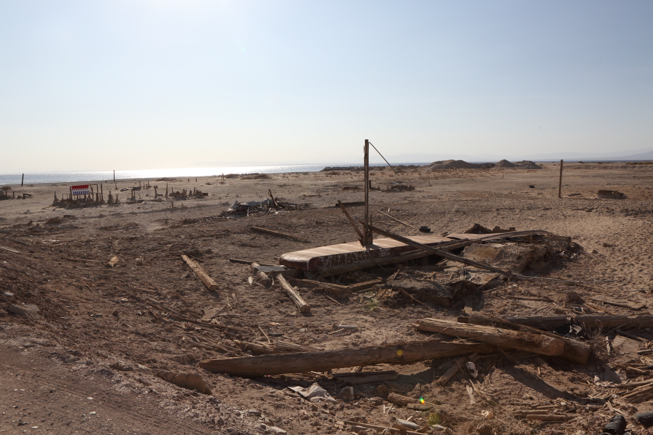
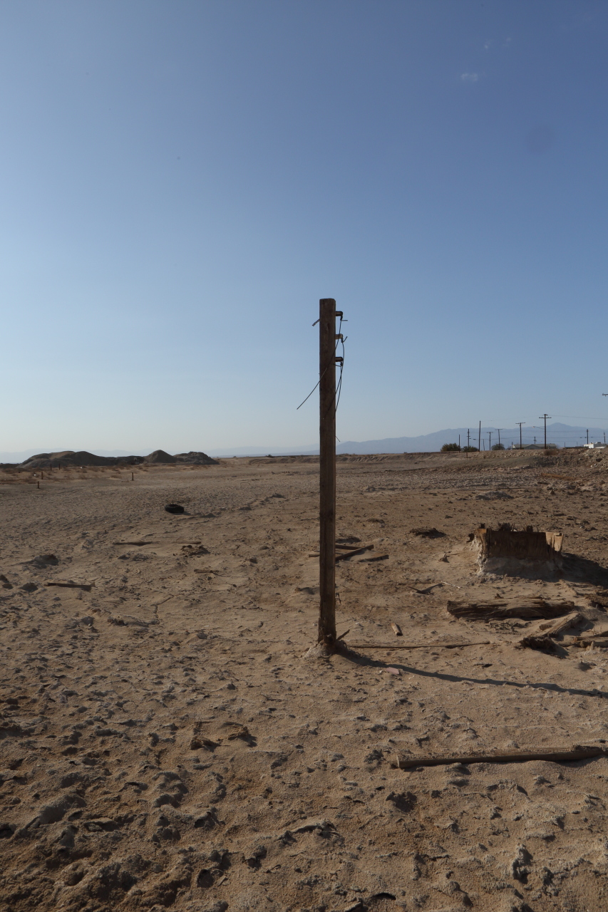
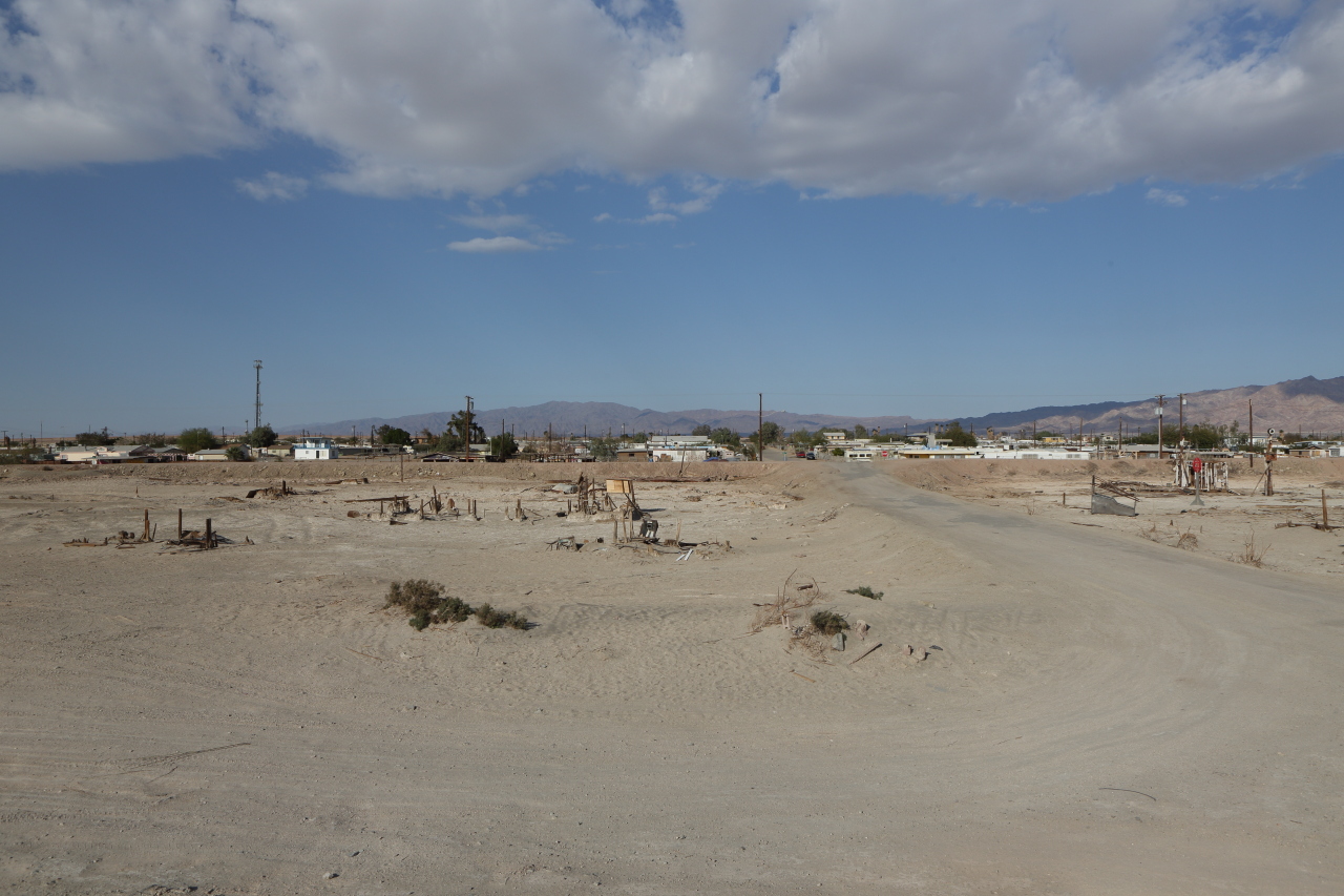
(Looking north toward town)
Location
Location
Location
Location
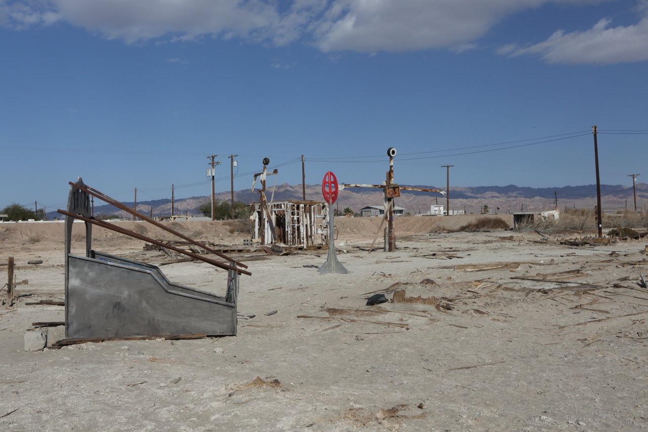
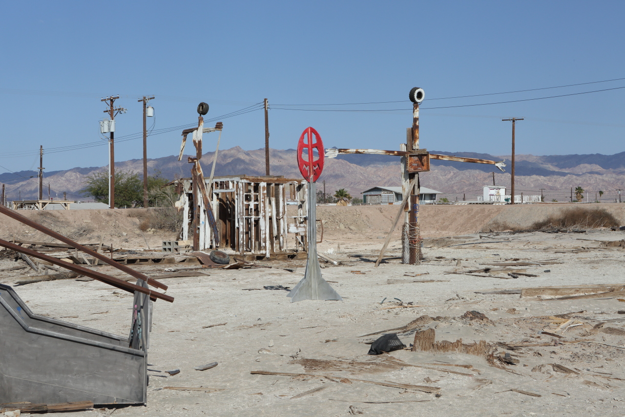
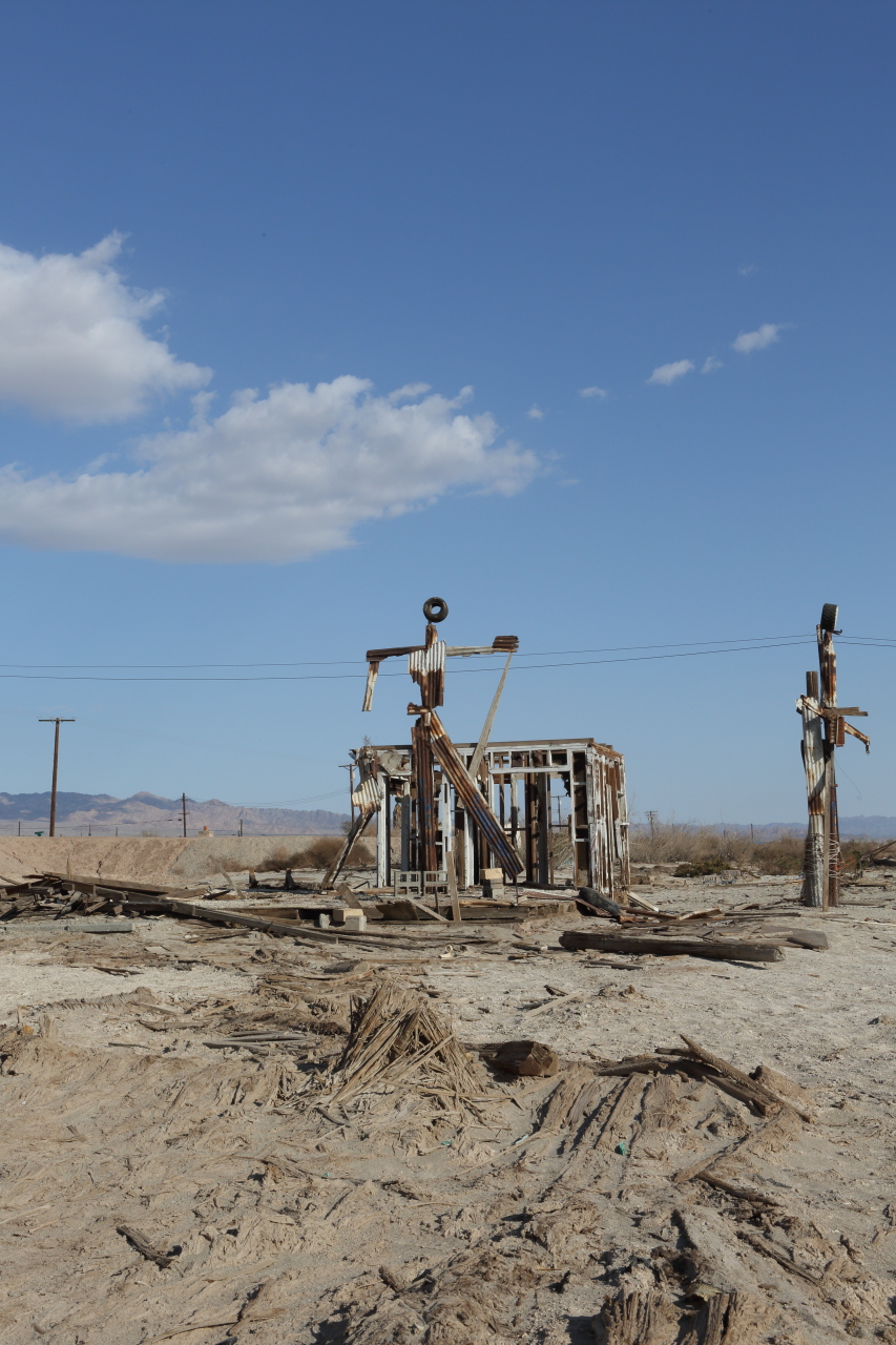
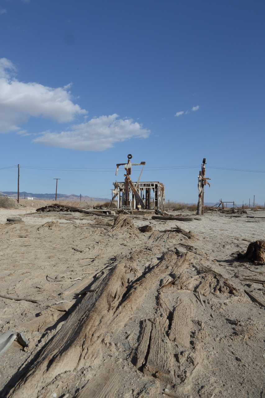
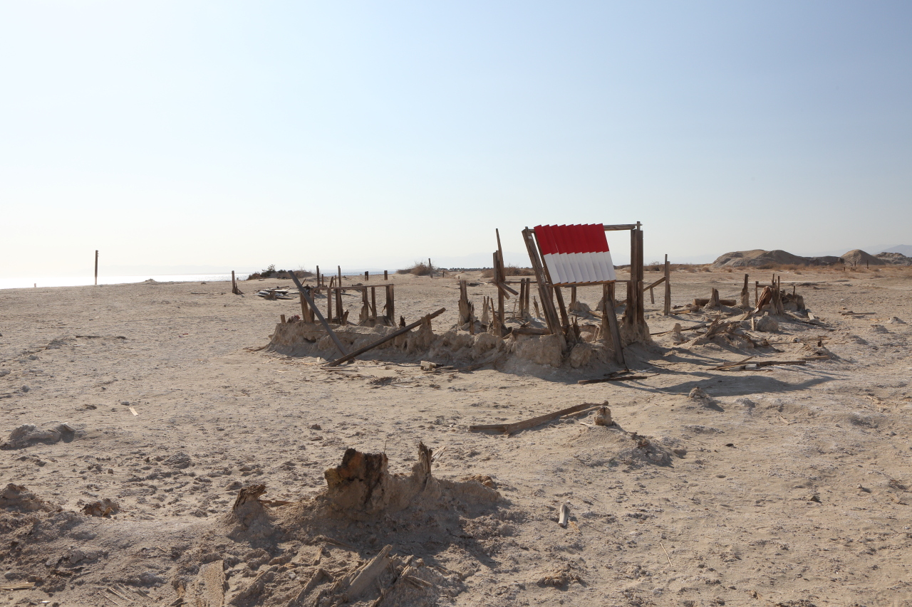
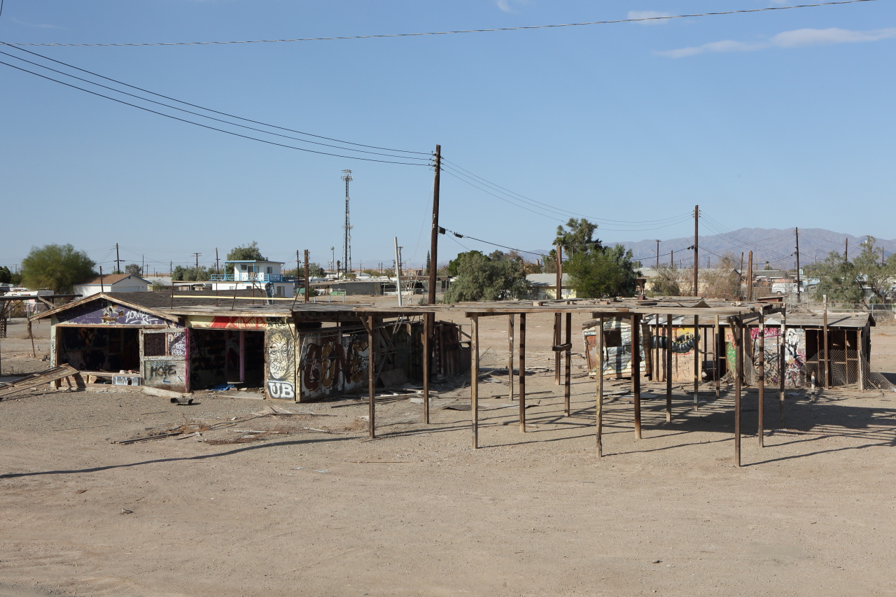
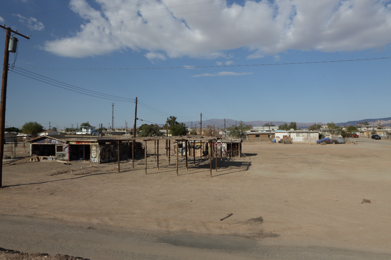
Local artists have created folk art out of some of the material from the ruins
Location
Location
Location
Location
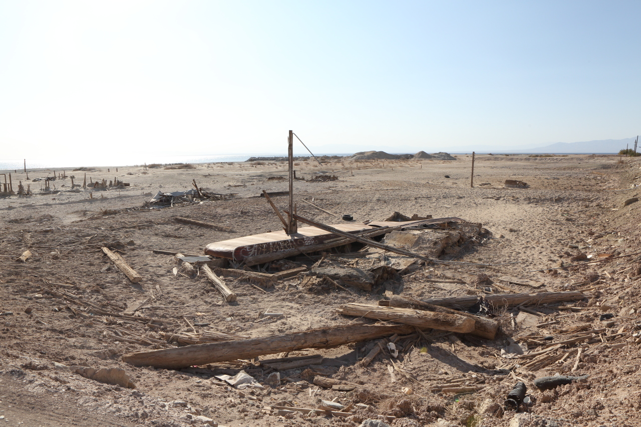
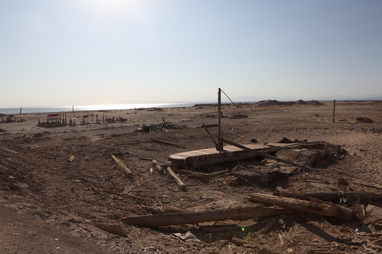
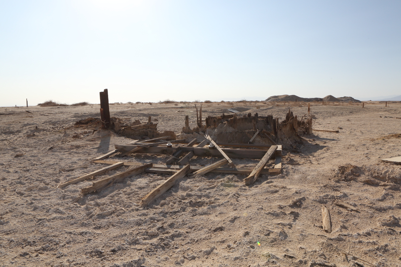
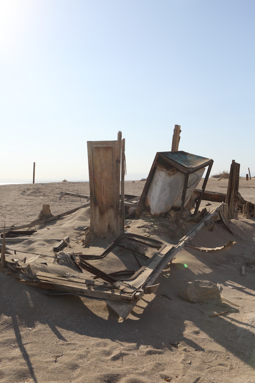
All that remains of a wooden boardwalk that once provided access to the structure
Location
Location
Location
Location
Location
Location
Location
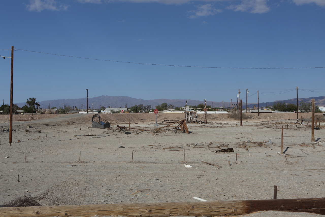
What do the houses in town next to the levee look like?
Like this. And worse.
Location
Location
Location
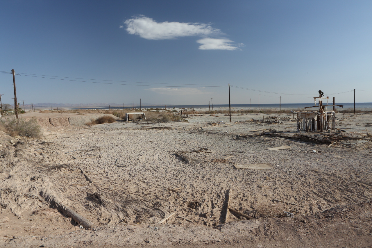
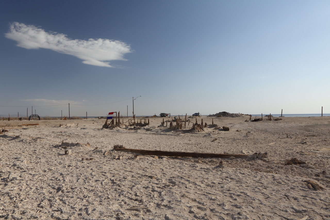
(Looking southwest)
Location
(Looking east)
Location
Location
Location